
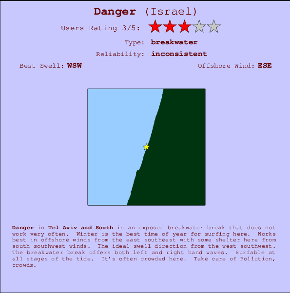
Danger Surf Guide
Danger in Tel Aviv and South is an exposed breakwater break that only works once in a while. Winter is the favoured time of year for surfing here. Offshore winds are from the east southeast with some shelter here from south southwest winds. The ideal swell direction from the west southwest. The breakwater breaks offer lefts and rights. The quality of the surf isn't affected by the tide. Likely to be crowded if working. Beware of Pollution, crowds.
Danger Spot Info
| Type: | Rating: | Reliability: | Todays Sea Temp*: |
|---|---|---|---|
| inconsistent | 29.1°C*ocean temperature recorded from satellite |
Surfing Danger:
The best conditions reported for surf at Danger occur when a West-southwest swell combines with an offshore wind direction from the East-southeast.
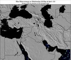
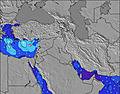
Energía de Olas (poder): 12 horas

Danger Surf:
Thursday, 30 July 2026, 13:39 Local time| jueves 30 | ||||
| 12PM | 3PM | 6PM | 9PM | |
| Wave (m) | ||||
| Período (s) | 7 | 7 | 7 | 6 |
| Viento (km/h) | ||||
| Estado del Viento | on | on | cross- on |
cross- on |
- /breaks/Danger/forecasts/latest
Danger Surf Guide
Danger in Tel Aviv and South is an exposed breakwater break that only works once in a while. Winter is the favoured time of year for surfing here. Offshore winds are from the east southeast with some shelter here from south southwest winds. The ideal swell direction from the west southwest. The breakwater breaks offer lefts and rights. The quality of the surf isn't affected by the tide. Likely to be crowded if working. Beware of Pollution, crowds.
Danger Spot Info
Type: Rating: Reliability: Todays Sea Temp*:  Breakwater
 3
3inconsistent 29.1°C*ocean temperature recorded from satelliteSurfing Danger:
The best conditions reported for surf at Danger occur when a West-southwest swell combines with an offshore wind direction from the East-southeast.
Energía de Olas (poder): 12 horas
Usa la barra de navegación de arriba para ver la temperatura del mar en Danger, fotografías Danger, previsiones detalladas de olas para Danger, vientos y previsión del tiempo, webcams para Danger, viento actual desde estaciones meteorológicas en Tel Aviv and South y predicciones de marea para Danger. Las mapas de olas para Israel enseñarán un mapa grande de Israel y los mares que rodean. Los mapas de olas pueden ser animadas para mostrar diferentes componentes de olas, la altura de ola, la energía de ola, el período, junto con previsiones de viento y del tiempo. Previsiones actuales del tiempo y del estado del mar provienen de boyas marinas de Israel, del barcos que transitan en la zona y de estaciones meteorológicas costeras. Cada página de previsiones tiene un Busca-Olas Regional y Global para localizar las mejores condiciones para surfear en el área de Danger.
Danger Surf:
Thursday, 30 July 2026, 13:39 Local timejueves 30 12PM 3PM 6PM 9PM Wave (m) Período (s) 7 7 7 6 Viento (km/h) Estado del Viento on on cross-
oncross-
on- /breaks/Danger/forecasts/latest
- /breaks/Danger/forecasts/latest/six_day
Danger Surf Guide
Danger in Tel Aviv and South is an exposed breakwater break that only works once in a while. Winter is the favoured time of year for surfing here. Offshore winds are from the east southeast with some shelter here from south southwest winds. The ideal swell direction from the west southwest. The breakwater breaks offer lefts and rights. The quality of the surf isn't affected by the tide. Likely to be crowded if working. Beware of Pollution, crowds.
Danger Spot Info
Type: Rating: Reliability: Todays Sea Temp*: Breakwater3inconsistent 29.1°C*ocean temperature recorded from satelliteSurfing Danger:
The best conditions reported for surf at Danger occur when a West-southwest swell combines with an offshore wind direction from the East-southeast.
Energía de Olas (poder): 12 horas
Usa la barra de navegación de arriba para ver la temperatura del mar en Danger, fotografías Danger, previsiones detalladas de olas para Danger, vientos y previsión del tiempo, webcams para Danger, viento actual desde estaciones meteorológicas en Tel Aviv and South y predicciones de marea para Danger. Las mapas de olas para Israel enseñarán un mapa grande de Israel y los mares que rodean. Los mapas de olas pueden ser animadas para mostrar diferentes componentes de olas, la altura de ola, la energía de ola, el período, junto con previsiones de viento y del tiempo. Previsiones actuales del tiempo y del estado del mar provienen de boyas marinas de Israel, del barcos que transitan en la zona y de estaciones meteorológicas costeras. Cada página de previsiones tiene un Busca-Olas Regional y Global para localizar las mejores condiciones para surfear en el área de Danger.
Danger Surf:
Thursday, 30 July 2026, 13:39 Local timejueves 30 12PM 3PM 6PM 9PM Wave (m) Período (s) 7 7 7 6 Viento (km/h) Estado del Viento on on cross-
oncross-
on- /breaks/Danger/forecasts/latest
Danger Surf Guide
Danger in Tel Aviv and South is an exposed breakwater break that only works once in a while. Winter is the favoured time of year for surfing here. Offshore winds are from the east southeast with some shelter here from south southwest winds. The ideal swell direction from the west southwest. The breakwater breaks offer lefts and rights. The quality of the surf isn't affected by the tide. Likely to be crowded if working. Beware of Pollution, crowds.
Danger Spot Info
Type: Rating: Reliability: Todays Sea Temp*: Breakwater3inconsistent 29.1°C*ocean temperature recorded from satelliteSurfing Danger:
The best conditions reported for surf at Danger occur when a West-southwest swell combines with an offshore wind direction from the East-southeast.
Energía de Olas (poder): 12 horas
Usa la barra de navegación de arriba para ver la temperatura del mar en Danger, fotografías Danger, previsiones detalladas de olas para Danger, vientos y previsión del tiempo, webcams para Danger, viento actual desde estaciones meteorológicas en Tel Aviv and South y predicciones de marea para Danger. Las mapas de olas para Israel enseñarán un mapa grande de Israel y los mares que rodean. Los mapas de olas pueden ser animadas para mostrar diferentes componentes de olas, la altura de ola, la energía de ola, el período, junto con previsiones de viento y del tiempo. Previsiones actuales del tiempo y del estado del mar provienen de boyas marinas de Israel, del barcos que transitan en la zona y de estaciones meteorológicas costeras. Cada página de previsiones tiene un Busca-Olas Regional y Global para localizar las mejores condiciones para surfear en el área de Danger.
Danger Surf:
Thursday, 30 July 2026, 13:39 Local timejueves 30 12PM 3PM 6PM 9PM Wave (m) Período (s) 7 7 7 6 Viento (km/h) Estado del Viento on on cross-
oncross-
onTide Times:
Para Tel Aviv-Yafo, a %{dist} %{km} de %{location}.
PROXIMA ES A LAS (hora local) quedan marea alta marea baja Danger Tide Times and Tide Chart
Live Weather:
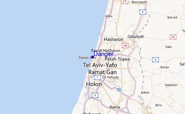
At Marina Herzlia, 6 km from Danger.
fresh winds from the W
(km/h)Air temperature
29.2°CFotos de Surf
de la galeríaContornos: Carreteras y Ríos: Selecciona un spot desde el menú 
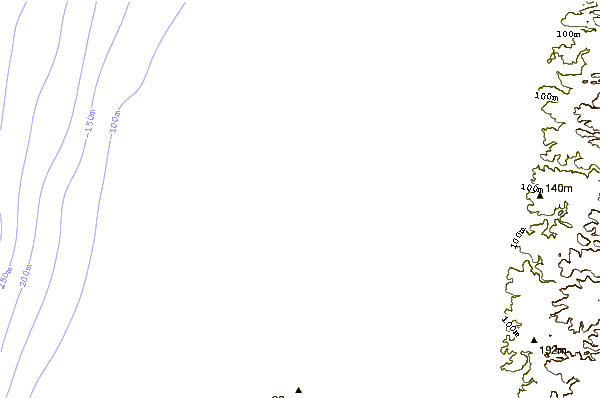
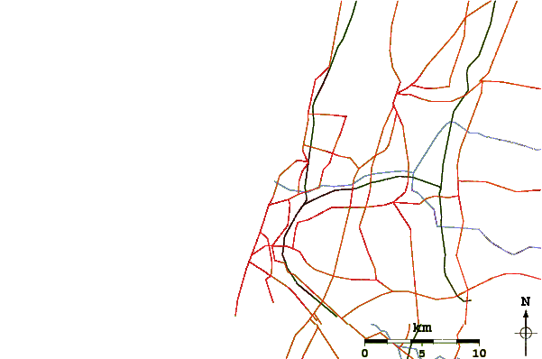
Usa este mapa para navegar hacia las playas de surf de Tel Aviv and South y estaciones de marea cercanas de Danger
Spots de Surf más cercanos a Danger:
(Clica la ubicación para más detalles)- Closest spot1 mi
- Second closest spot1 mi
- Third closest spot1 mi
- Fourth closest spot1 mi
- Fifth closest spot1 mi
Boyas marinas más cercanas a Danger:
- Closest Boya Marinas1658 mi
- Second closest Boya Marinas1784 mi
- Third closest Boya Marinas2120 mi
- Fourth closest Boya Marinas2124 mi
- Fifth closest Boya Marinas2139 mi
Estaciones de marea más cercanas a Danger:
- Closest estación de mareaTel Aviv-Yafo2 mi
- Second closest estación de mareaRamat Gan3 mi
- Third closest estación de mareaGiv`atayim4 mi
- Fourth closest estación de mareaYafo4 mi
- Fifth closest estación de mareaHerzliya5 mi
Airports
- The closest passenger airport to Danger is Sde Dov (Tel-aviv) Airport (SDV) in Israel, 1 km (1 miles) away (directly).
- The second nearest airport to Danger is Ben Gurion (Tel-aviv) Airport (TLV), also in Israel, 15 km (9 miles) away.
- Third is Jerusalem/atarot Airport (JRS) in Israel, 50 km (31 miles) away.
- Haifa Airport (HFA) in Israel is 82 km (51 miles) away.
- Teyman (Beer-sheba) Airport (BEV), also in Israel is the fifth nearest airport to Danger and is 92 km (57 miles) away.
- /breaks/Danger/forecasts/latest
 Nearest