Previsiones:

Surf en CondosPronóstico / Texas / USA
Actualizacion del pronostico en hora min s Forecast update imminent
La altura de oleaje para Condos es en mar abierto. Olas rompiendo en la orilla/arrecife son usualmente más pequeñas en áreas protegidas.
La temperatura del mar en Condos hoy es
21.3° C
(Lo cual es ligeramente más cálido de lo habitual)Actualizaciones en hora min s Forecast update imminent
lunes 29 | martes 30 | miércoles 31 | jue 01 | |||||||||||||||||||||
| 3 AM | 6 AM | 9 AM | 12 PM | 3 PM | 6 PM | 9 PM | 0 AM | 3 AM | 6 AM | 9 AM | 12 PM | 3 PM | 6 PM | 9 PM | 0 AM | 3 AM | 6 AM | 9 AM | 12 PM | 3 PM | 6 PM | 9 PM | 0 AM | |
Notación (10 max) | ||||||||||||||||||||||||
Mapa de Altura de Olas | 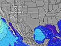 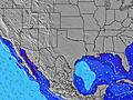 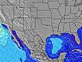 | 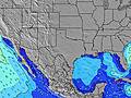 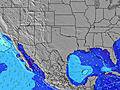 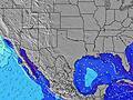 | 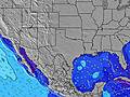 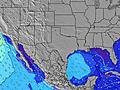 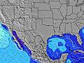 | 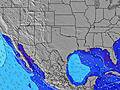 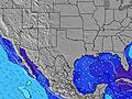 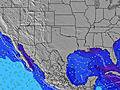 | ||||||||||||||||||||
| Altura de Olas (m) & dirección (?) | ||||||||||||||||||||||||
| Período(s) (?) | 6 | 6 | 6 | 7 | 8 | 8 | 8 | 7 | 7 | 7 | 6 | 6 | 6 | 6 | 6 | 6 | 6 | 6 | 6 | 6 | 6 | 6 | 5 | 3 |
Gráfico (?)Olas | ||||||||||||||||||||||||
| 33 | 261 | 424 | 357 | 163 | 142 | 114 | 70 | 63 | 58 | 113 | 57 | 47 | 33 | 21 | 20 | 20 | 12 | 12 | 11 | 6 | 6 | 5 | 4 | |
Viento (km/h) | ||||||||||||||||||||||||
| Estado del Viento (?) onshore Viento de Mar-Cruzado Cruzado Viento de Tierra-Cruzado Viento de Tierra Cristalino | cross | cross | cross | cross | cross- off | cross- off | cross- off | cross- off | cross- off | cross- off | cross- off | cross- off | cross- off | cross- off | cross | glass | glass | cross- off | glass | cross | cross- on | cross- on | cross- on | cross |
Marea alta / altura (m) | 11:00PM 0.02 | 11:13PM 0.04 | 11:58PM 0.05 | |||||||||||||||||||||
Marea baja / altura (m) | 9:41AM -0.07 | 10:13AM -0.10 | 11:04AM -0.12 | |||||||||||||||||||||
lunes 29 | martes 30 | miércoles 31 | jue 01 | |||||||||||||||||||||
| Amanecer | - | - | 7:18 | - | - | - | - | - | - | - | 7:18 | - | - | - | - | - | - | - | 7:18 | - | - | - | - | - |
| Puesta del Sol | - | - | - | - | 5:42 | - | - | - | - | - | - | - | 5:43 | - | - | - | - | - | - | - | 5:44 | - | - | - |
Lluvia (mm) | 1 | - | - | - | - | - | - | - | - | - | - | - | - | - | - | - | - | - | - | - | - | - | - | - |
| Temp. °C | 16 | 13 | 11 | 10 | 8 | 8 | 7 | 7 | 8 | 8 | 8 | 8 | 9 | 11 | 12 | 13 | 13 | 12 | 13 | 14 | 15 | 16 | 16 | 17 |
| Feels °C (?) | 4 | -1 | -3 | -2 | -2 | -2 | -3 | -2 | -1 | 0 | 0 | 2 | 3 | 6 | 8 | 10 | 10 | 8 | 10 | 11 | 11 | 12 | 12 | 13 |
- Map Icons:
 Break
Break Live Wave Height (m)
 Live Wind Speed (km/h)
 Surf Rating (10 Max)
 Ocean Swells (m)
- Wind Speed (km/h)
GRÁTIS! Un widget de Surf-Forecast.com para tu sitio
Este widget grátis de previsiones de surf y tiempo puede ser añadido a cualquier otro sitio y da un resumen de previsiones de olas para Condos. Solo necesita cortar y pegar el código HTML de abajo en su web. Puede elegir preferencias de idioma y de unidades (métricas o imperiales) para convenir a los usuarios de su sitio. Clica aquí para obtener el código.
 Nearest